GIS & Spatial Information Systems Service
Technical Solutions provides GIS implementation and spatial system delivery — deploying mapping platforms, building spatial databases, and creating operational tools for location-based asset management and decision-making. Service Overview Geographic information systems transform how organisations manage infrastructure, plan operations, and communicate spatial data. Technical Solutions implements GIS solutions that bring geographic intelligence to operational decision-making — […]
Technical Solutions provides GIS implementation and spatial system delivery — deploying mapping platforms, building spatial databases, and creating operational tools for location-based asset management and decision-making.
Service Overview
Geographic information systems transform how organisations manage infrastructure, plan operations, and communicate spatial data. Technical Solutions implements GIS solutions that bring geographic intelligence to operational decision-making — from utility network mapping to oil field asset management and municipal infrastructure planning.
Scope of Work
- GIS platform selection and deployment (desktop, server, web, and mobile)
- Spatial database design, setup, and data import
- Base map creation from survey data, satellite imagery, and existing records
- Asset mapping and infrastructure digitization — converting paper maps and drawings to digital spatial data
- Custom map application development for specific operational needs
- Integration with existing enterprise systems (ERP, SCADA, asset management)
- Mobile GIS deployment for field data capture and inspection workflows
- User training on GIS tools, data management, and analytical workflows
- Ongoing support, data maintenance, and system updates
Deliverables
- Configured GIS platform with spatial database
- Digitized asset and infrastructure maps
- Custom map applications and dashboards
- Integration with existing enterprise systems
- User training programme and reference materials
- Data maintenance procedures and documentation
Typical Applications
- Utility networks — mapping electrical distribution, water pipelines, and communication infrastructure
- Oil and gas — well locations, pipeline routing, concession boundaries, and facility management
- Municipal planning — land use mapping, zoning, and infrastructure inventory
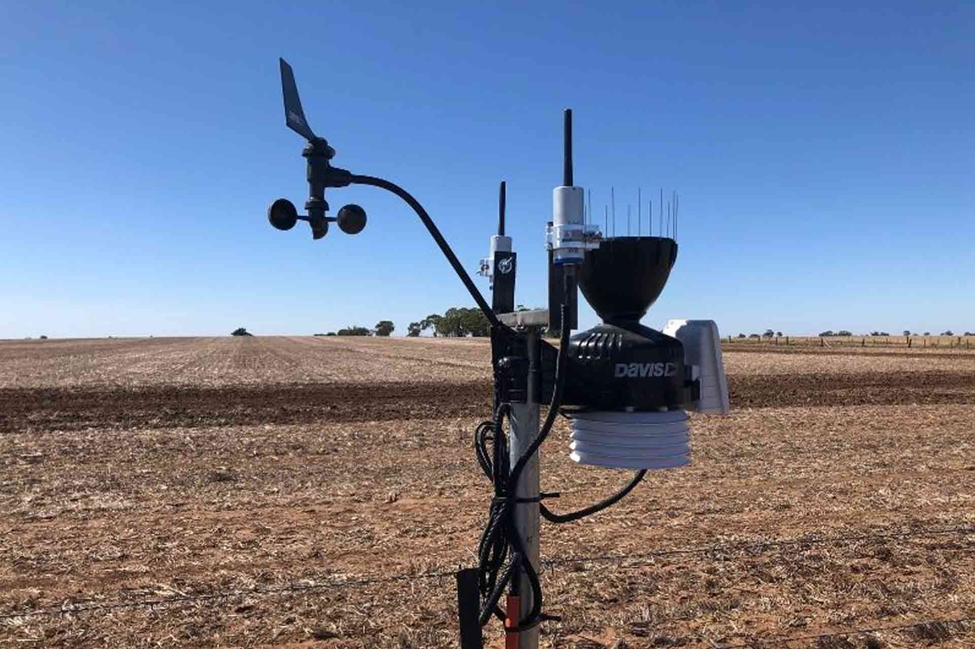
- Agriculture — land management, irrigation system planning, and crop monitoring
- Environmental monitoring — pollution tracking, environmental impact mapping, and protected area management
- Facilities management — campus mapping, building floor plans, and space management
Ready to bring spatial intelligence to your operations?
Service Engagement Structure
01 Scope Definition
Precise assessment of requirements and operational constraints before deployment.
02 Expert Execution
Strict adherence to international standards and transparent documentation.
03 Long-term Support
Dedicated maintenance contracts and rapid-response troubleshooting.
Related Information
CCTV Services
Technical Solutions provides complete CCTV and video surveillance services covering assessment, design, equipment selection, installation, commissioning, and handover. Our service is intended for clients that need a surveillance system that works as an operational platform, with proper coverage, reliable recording, and infrastructure that can be supported over time. Service Overview We support CCTV projects from […]
Learn more
Cybersecurity
Technical Solutions provides cybersecurity assessment and implementation services — identifying vulnerabilities, designing security architectures, and deploying protection measures for enterprise IT and operational technology environments. Service Overview Cybersecurity threats are a growing concern for organisations in all sectors. A single breach can compromise sensitive data, disrupt operations, and damage institutional credibility. Technical Solutions provides practical, […]
Learn more
Digitization Services
Technical Solutions provides digitization services — converting paper-based processes, manual workflows, and physical documentation into structured digital systems that improve operational efficiency, data accessibility, and institutional auditability. Service Overview Many organisations in Libya continue to operate critical business processes using paper forms, physical filing systems, and manual procedures. These legacy practices create delays, increase error […]
Learn moreReady to discuss your requirements?
Connect with our engineering team for a structured project assessment, scope discussion, or technical procurement conversation.